
The historical origin of Pann Lane
Pann Lane is a small secluded alleyway spanning off High street in Sunderland city centre. It is notable because it contains an antique pub front from days gone by which was regenerated into a beautiful new venue known as the Three Stories.
But there is a deeper story behind this lane, which is a nod to a bygone era in Sunderland.
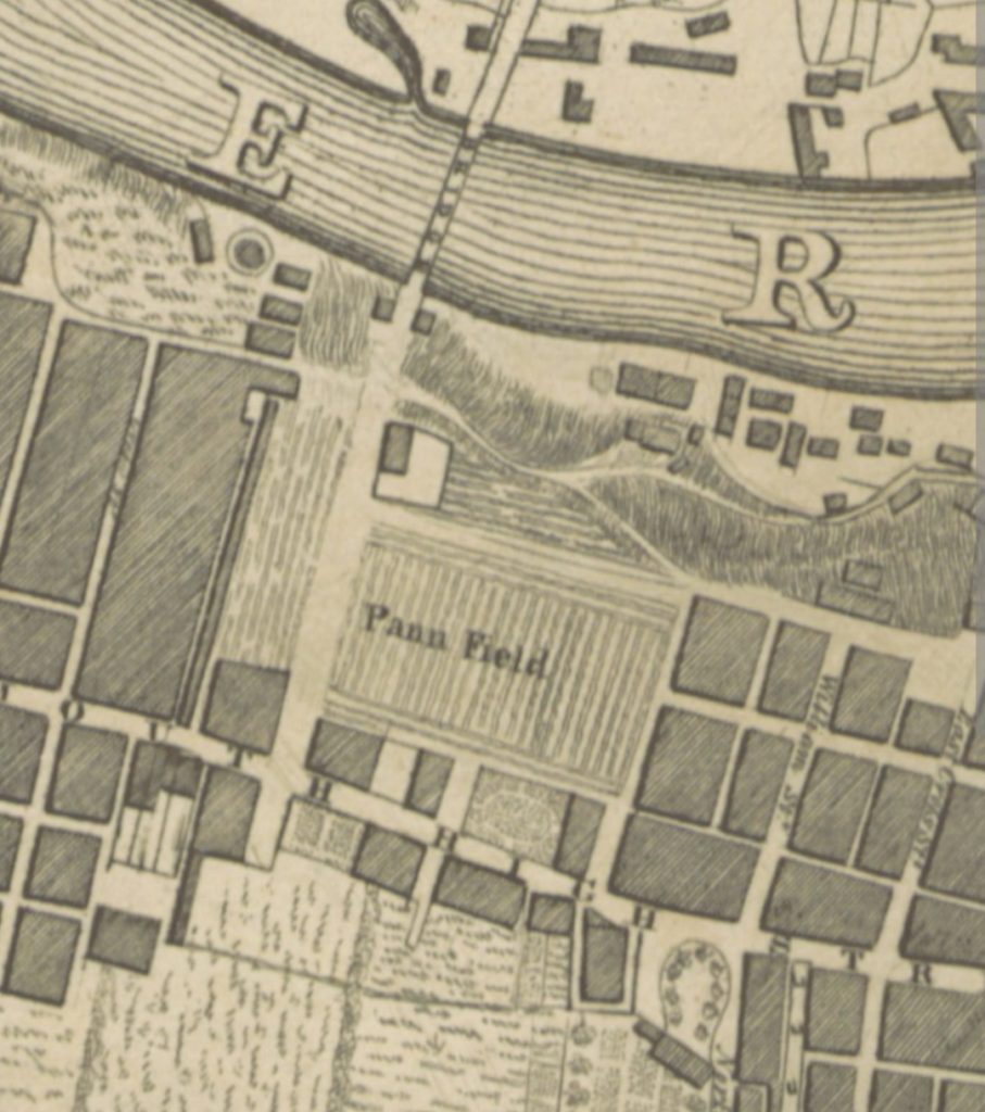
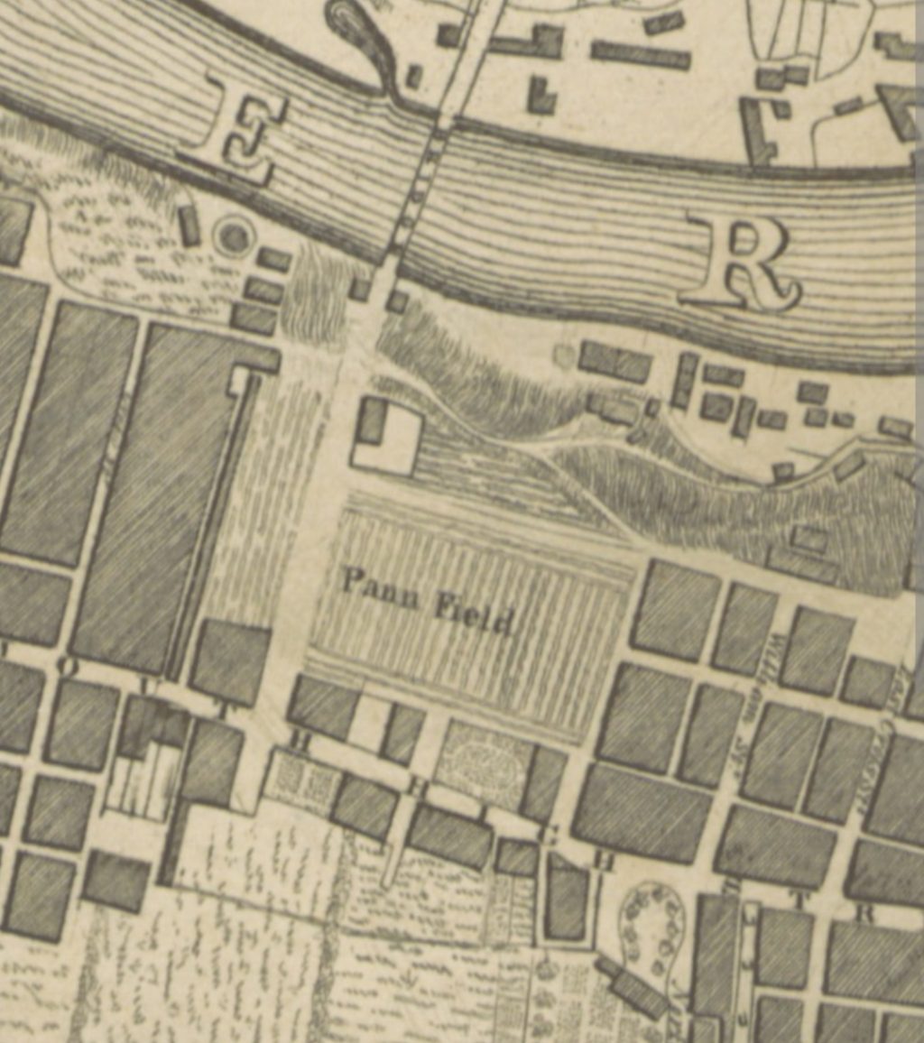
The image you see above is a zoomed in excerpt of one of the earliest derailed maps of Sunderland, dated 1817. What you see in the excerpt is the area of the town centre surrounding bridge street and the first Wearmouth Bridge built in 1796.
Beneath it, as explained in historical posts yesterday, is High Street which was essentially the central artery everything in Sunderland grew from. However, if you notice near the bridge there is a patch of land known as “Pann Field.”
We learn from a Blue Plaque attached next to St. Mary’s Car Park that Pann Field was as the name might suggest, a place for panning salt, an industry which began in the 16th century with the Tudors and started Sunderland’s transition into a commercial town and its subsequent growth.
To the left of the area that is now bridge street, you can see a very narrow alley that leads out into part of the Pann Field area (which cuts across the street) and roughly where the St. Mary’s way is now. This is Pann Lane. With some more searching, Pann Lane exists in all the first Ordnance survey maps of Sunderland starting in the 1850s.
Thus what you see now where Three Stories is, is a remnant of Sunderland’s salt panning past.


